maptile
A stata program that makes mapping easy.
These geography templates are freely available for anyone to download and use. They were created using public domain or openly licensed inputs.
Click on the [+] in the left margin to toggle the details open or shut.
If there is no geography corresponding to the region that you want to map, it is not difficult to make a new geography. See the maptile help file for instructions. You can use demo_maptile.ado and demo_maptile.smcl as a template. Then send me an e-mail if you want to host it here to share with others!
| Region | Units | Vintage | Map | Geography Name | Author | |
|---|---|---|---|---|---|---|
| + | Canada | Economic Regions | 2011 |

|
can_er | Michael Stepner |
| Installation: | ||||||
|
||||||
| Geographic ID variable: | ||||||
er (containing 4-digit economic region codes) |
||||||
| Options: | ||||||
provoutline(linewidthstyle)overlay a (potentially thicker) line on province boundaries |
||||||
mapifprovexcludes the territories from the map, only mapping the 10 provinces |
||||||
legendoffset(#)shifts the legend downward |
||||||
| Source files: | ||||||
 Download ZIP Download ZIP
|
||||||
| + | Canada | Provinces | 2011 |

|
can_prov | Michael Stepner |
| Installation: | ||||||
|
||||||
| Geographic ID variable: | ||||||
prov (containing two-letter postal abbreviations) |
||||||
provcode (containing two-digit SGC codes) |
||||||
provcode_old (containing 1-digit province codes, with territories in 10-12) |
||||||
provname (containing full English province names) |
||||||
| Options: | ||||||
geoid(varname)specifies the geographic ID variable to use; default is prov |
||||||
mapifprovexcludes the territories from the map, only mapping the 10 provinces |
||||||
legendoffset(#)shifts the legend downward |
||||||
| Source files: | ||||||
|
Download ZIP
|
||||||
| + | United States | CBSAs | 2009 |

|
cbsa2009 | Meru Bhanot |
| Installation: | ||||||
|
||||||
| Geographic ID variable: | ||||||
cbsa2009 (containing 5-digit FIPS codes) |
||||||
| Options: | ||||||
nostateoutlineremoves the overlaid state borders, which are on by default |
||||||
conushides Alaska and Hawaii on the plot |
||||||
| Source files: | ||||||
|
Download ZIP
|
||||||
| + | United States | CBSAs | 2013 |

|
cbsa2013 | Meru Bhanot |
| Installation: | ||||||
|
||||||
| Geographic ID variable: | ||||||
cbsa2013 (containing 5-digit FIPS codes) |
||||||
| Options: | ||||||
nostateoutlineremoves the overlaid state borders, which are on by default |
||||||
conushides Alaska and Hawaii on the plot |
||||||
| Source files: | ||||||
|
Download ZIP
|
||||||
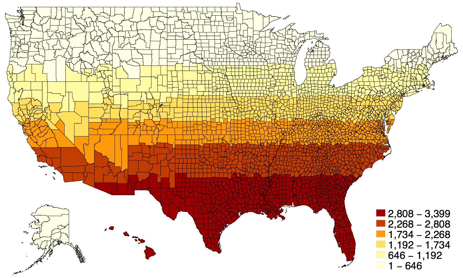
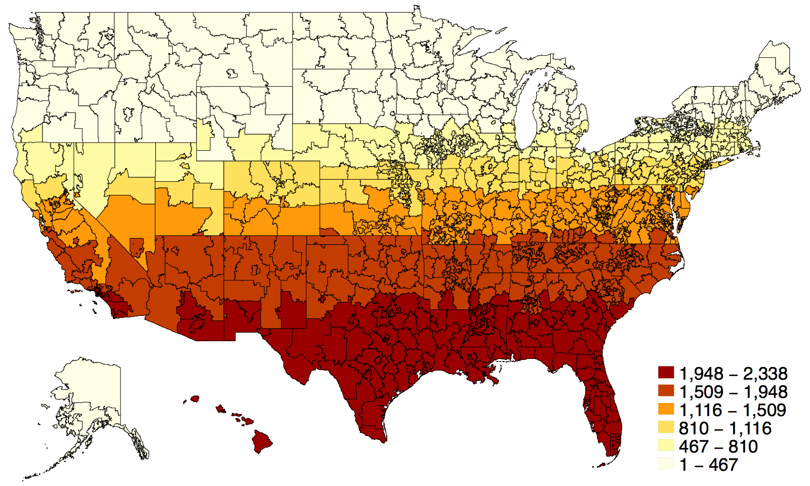
| + | United States | Counties | 1990 |

|
county1990 | Michael Stepner |
| Installation: | ||||||
|
||||||
| Geographic ID variable: | ||||||
county (containing FIPS codes) |
||||||
| Options: | ||||||
stateoutline(linewidthstyle)overlay the map with a (potentially thicker) line on state boundaries |
||||||
conushides Alaska and Hawaii, on the map and the state outline |
||||||
| Source files: | ||||||
|
Download ZIP
|
||||||
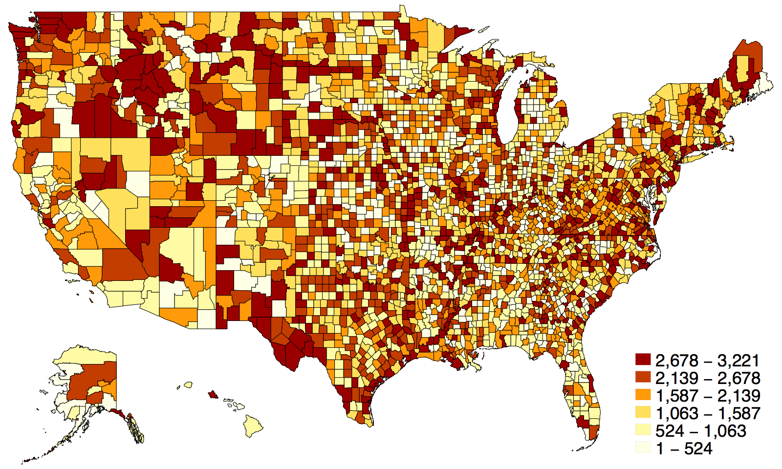
| + | United States | Counties | 2000 |
|
county2000 | Chieko Maene |
| Installation: | ||||||
|
||||||
| Geographic ID variable: | ||||||
county (containing FIPS codes) |
||||||
| Options: | ||||||
stateoutline(linewidthstyle)overlay the map with a (potentially thicker) line on state boundaries |
||||||
conushides Alaska and Hawaii, on the map and the state outline |
||||||
| Source files: | ||||||
|
Download ZIP
|
||||||
| + | United States | Counties | 2010 |
|
county2010 | Chieko Maene |
| Installation: | ||||||
|
||||||
| Geographic ID variable: | ||||||
county (containing FIPS codes) |
||||||
| Options: | ||||||
stateoutline(linewidthstyle)overlay the map with a (potentially thicker) line on state boundaries |
||||||
conushides Alaska and Hawaii, on the map and the state outline |
||||||
| Source files: | ||||||
|
Download ZIP
|
||||||
| + | United States | Counties | 2014 |

|
county2014 | Chieko Maene |
| Installation: | ||||||
|
||||||
| Geographic ID variable: | ||||||
county (containing FIPS codes) |
||||||
| Options: | ||||||
stateoutline(linewidthstyle)overlay the map with a (potentially thicker) line on state boundaries |
||||||
conushides Alaska and Hawaii, on the map and the state outline |
||||||
| Source files: | ||||||
|
Download ZIP
|
||||||
| + | United States | Commuting Zones | 1990 |

|
cz1990 | Michael Stepner |
| Installation: | ||||||
|
||||||
| Geographic ID variable: | ||||||
cz (containing 1990 Commuting Zone codes) |
||||||
| Options: | ||||||
stateoutline(linewidthstyle)overlay the map with a (potentially thicker) line on state boundaries |
||||||
conushides Alaska and Hawaii, on the map and the state outline |
||||||
| Source files: | ||||||
|
Download ZIP
|
||||||
| + | United States | Commuting Zones | 2000 |

|
cz2000 | Maithreyi Gopalan |
| Installation: | ||||||
|
||||||
| Geographic ID variable: | ||||||
cz (containing 2000 Commuting Zone codes) |
||||||
| Options: | ||||||
stateoutline(linewidthstyle)overlay the map with a (potentially thicker) line on state boundaries |
||||||
conushides Alaska and Hawaii, on the map and the state outline |
||||||
| Source files: | ||||||
|
Download ZIP
|
||||||
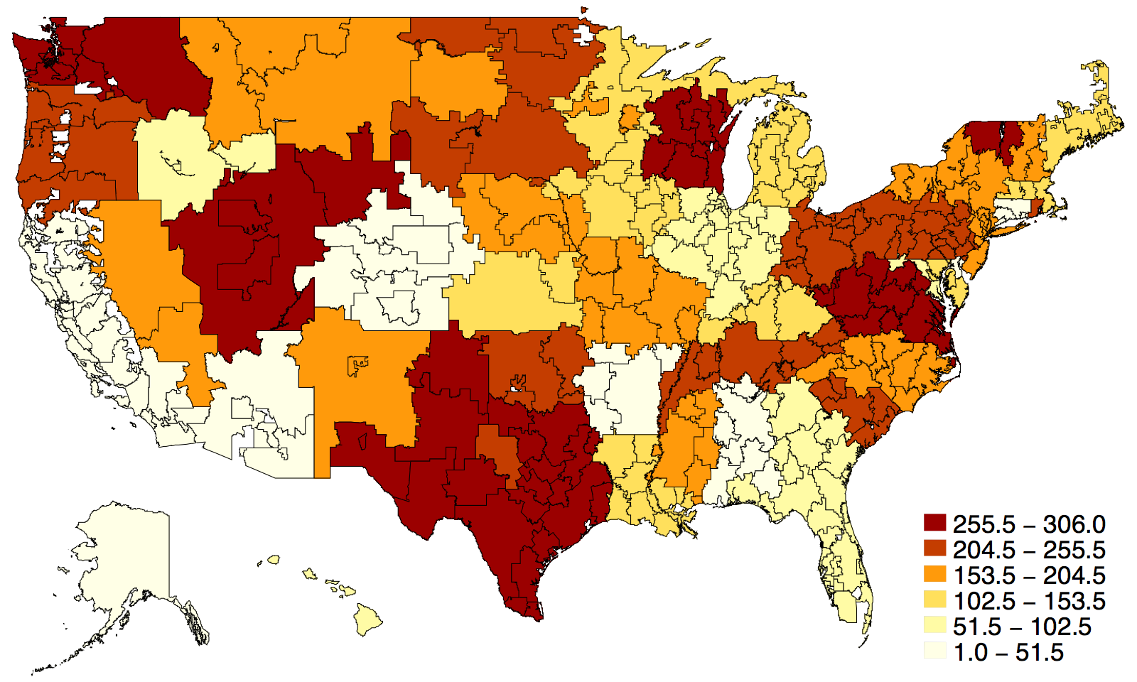
| + | United States | District Courts | 2014 |

|
district_courts | Benjamin Chartock |
| Installation: | ||||||
|
||||||
| Geographic ID variable: | ||||||
district_courts (abbreviation for judicial district, ex: ND CA) |
||||||
| Options: | ||||||
stateoutline(linewidthstyle)overlay the map with a (potentially thicker) line on state boundaries |
||||||
conushides Alaska and Hawaii, on the map and the state outline |
||||||
| Source files: | ||||||
|
Download ZIP
|
||||||
| + | United States | HRRs | 2005 |
|
hrr | Michael Stepner |
| Installation: | ||||||
|
||||||
| Geographic ID variable: | ||||||
hrr (containing HRR codes) |
||||||
| Options: | ||||||
stateoutline(linewidthstyle)overlay the map with a (potentially thicker) line on state boundaries |
||||||
conushides Alaska and Hawaii, on the map and the state outline |
||||||
| Source files: | ||||||
|
Download ZIP
|
||||||
| + | United States | MSA/CMSAs | 2000 |

|
msacmsa2000 | Meru Bhanot |
| Installation: | ||||||
|
||||||
| Geographic ID variable: | ||||||
msacmsa2000 (containing 4-digit MSA/CMSA codes) |
||||||
| Options: | ||||||
nostateoutlineremoves the overlaid state borders, which are on by default |
||||||
conushides Alaska and Hawaii on the plot |
||||||
| Acknowledgement: | ||||||
An earlier geography template for MSA/CMSAs was contributed by Arash Farahani. It can still be installed by running:
maptile_install using "http://files.michaelstepner.com/geo_msa2000.zip" |
||||||
| Source files: | ||||||
|
Download ZIP
|
||||||
| + | United States | MSA/PMSAs | 2000 |

|
msapmsa2000 | Meru Bhanot |
| Installation: | ||||||
|
||||||
| Geographic ID variable: | ||||||
msapmsa2000 (containing 4-digit MSA/PMSA codes) |
||||||
| Options: | ||||||
nostateoutlineremoves the overlaid state borders, which are on by default |
||||||
conushides Alaska and Hawaii on the plot |
||||||
| Source files: | ||||||
|
Download ZIP
|
||||||
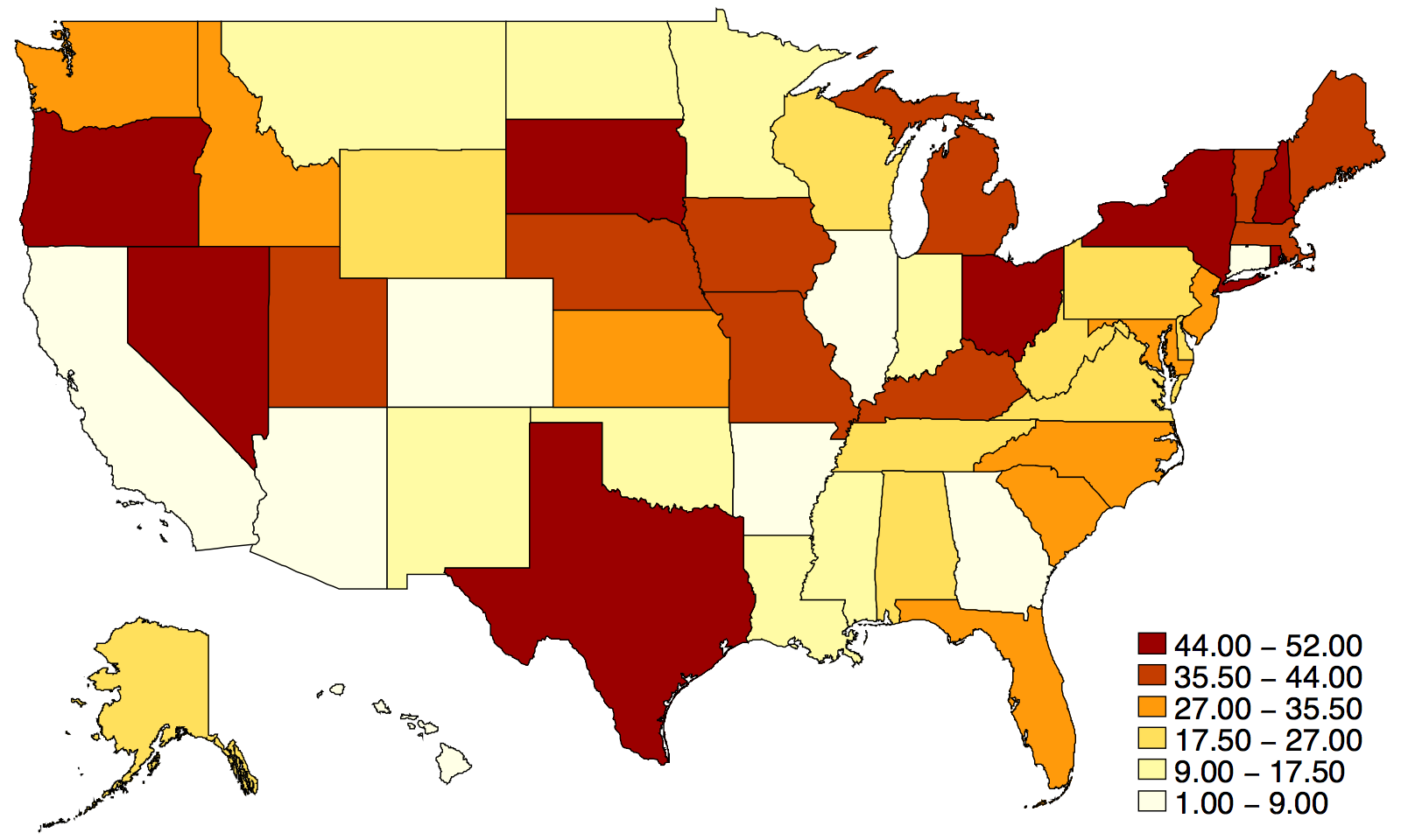
| + | United States | States | 2010 |
|
state | Michael Stepner |
| Installation: | ||||||
|
||||||
| Geographic ID variable: | ||||||
state (containing two-letter state abbreviations) |
||||||
statefips (containing two-digit FIPS codes) |
||||||
statename (containing unabbreviated state names) |
||||||
| Options: | ||||||
geoid(varname)specify the geographic ID variable to use; default is state |
||||||
| Source files: | ||||||
|
Download ZIP
|
||||||
| + | United States | States (Hexagons) | 2015 |

|
statehex | Paul Goldsmith-Pinkham |
| Installation: | ||||||
|
||||||
| Geographic ID variable: | ||||||
state (containing two-letter state abbreviations) |
||||||
statefips (containing two-digit FIPS codes) |
||||||
statename (containing unabbreviated state names) |
||||||
| Options: | ||||||
geoid(varname)specify the geographic ID variable to use; default is state |
||||||
labelhex(varname)specify a variable to label the hexagons; default is two-letter state abbreviations |
||||||
nolabelremoves the labels from the hexagons |
||||||
| Source files: | ||||||
|
Download ZIP
|
||||||
| + | United States | 3-digit ZIP Codes | 2000 |
|
zip3 | Michael Stepner |
| Installation: | ||||||
|
||||||
| Geographic ID variable: | ||||||
zip3 (containing the first 3-digits of a ZIP code) |
||||||
| Options: | ||||||
stateoutline(linewidthstyle)overlay the map with a (potentially thicker) line on state boundaries |
||||||
conushides Alaska and Hawaii, on the map and the state outline |
||||||
| Source files: | ||||||
|
Download ZIP
|
||||||
| + | United States | 5-digit ZIP Codes | 2000 |

|
zip5 | Michael Stepner |
| Installation: | ||||||
|
||||||
| Geographic ID variable: | ||||||
zip5 (containing a 5-digit ZIP code) |
||||||
| Options: | ||||||
stateoutline(linewidthstyle)overlay the map with a (potentially thicker) line on state boundaries |
||||||
conushides Alaska and Hawaii, on the map and the state outline |
||||||
| Source files: | ||||||
|
Download ZIP
|
||||||